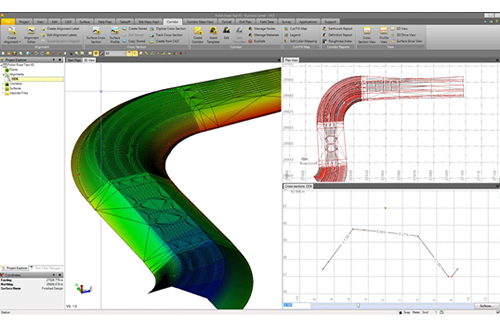
Trimble Business Center (Marine)
Powerful tools help you create accurate, integrated 3D models for marine sites and applications quickly and easily.
Make better decisions, decrease costly mistakes, and increase efficiency in the office and on the job site.
Key Features:
Manage marine point cloud data to check
for errors in the data set
View models in 3D to check validity of
marine and land topography
Import data from third-party marine
acquisition packages
Merge terrestrial and hydrographic data to
manage the surf zone
Plot colour coded waterway bed contours
and cross sections
Input simple or complex channel designs
Evaluate different channel or
breakwater alignments to quickly
find the ideal design
Determine volumes prior to dredging and
then report progress volumes
Use positive depths or positive elevations
Add optional modules as work
tasks evolve

